2026-08-08
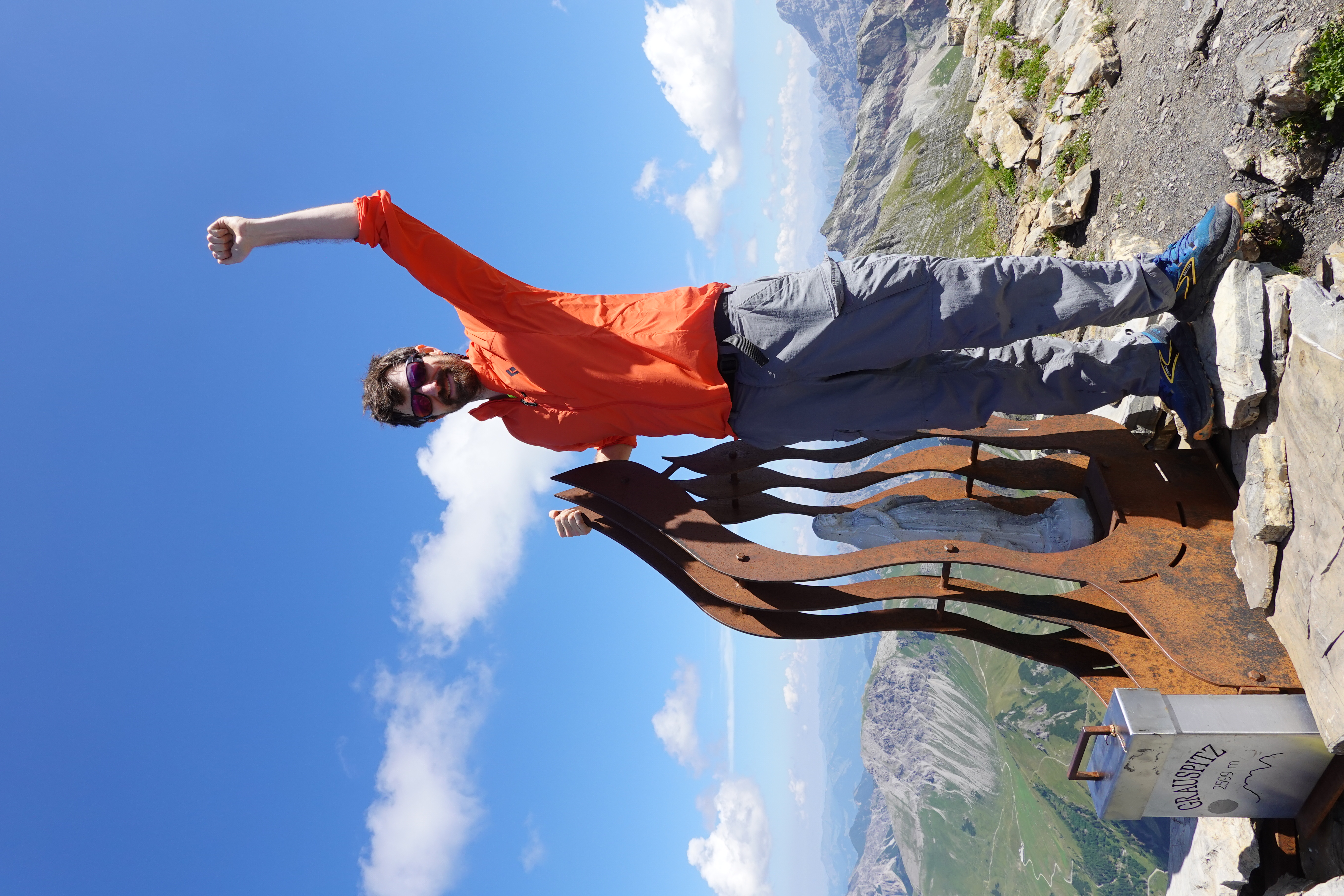
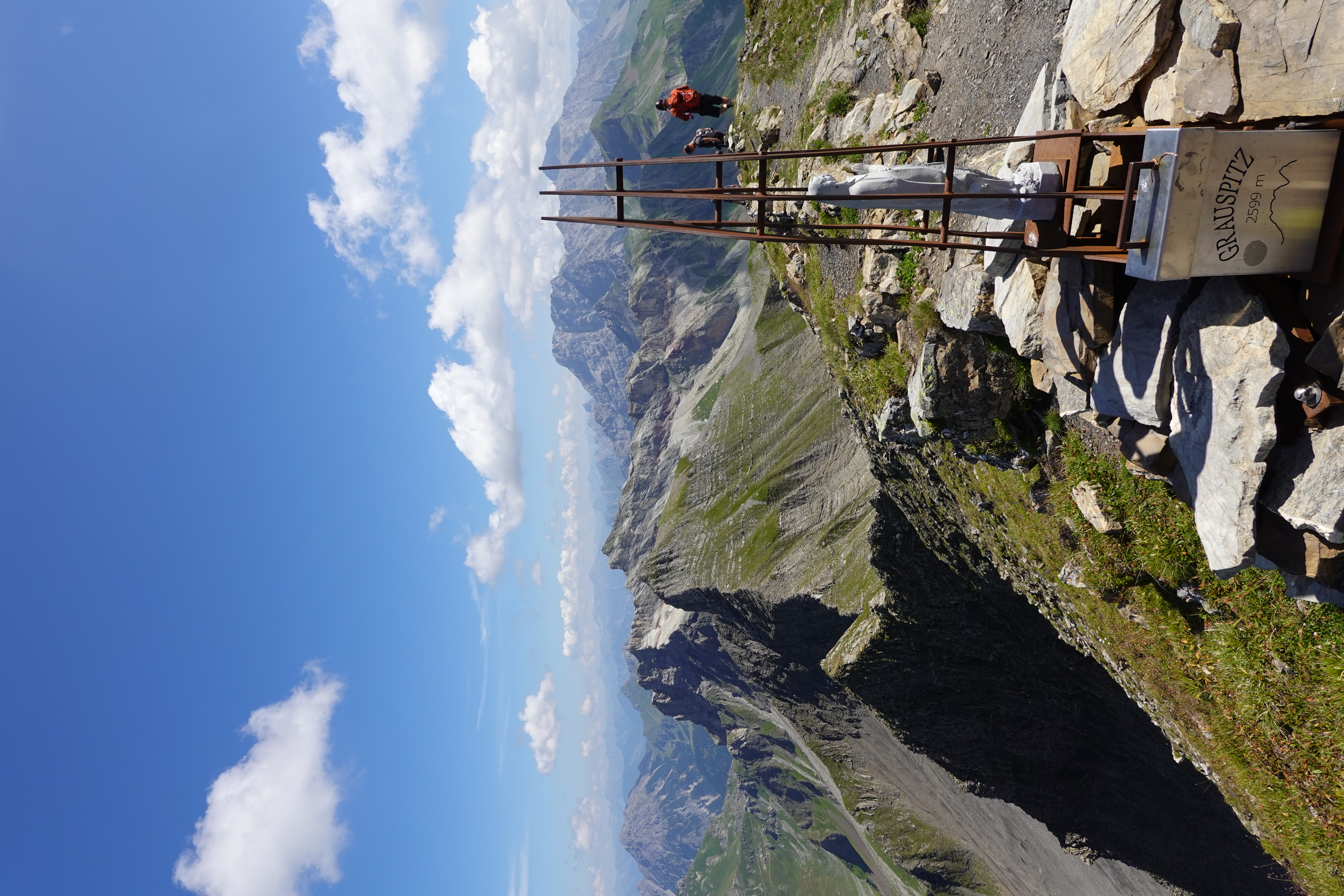
My fifth country highpoint and a bonus peak for my Swiss cantonal highpoints project.
Liechtenstein is an independent country bordering Switzerland, comprising the east side of the Rhine river valley on its way north out of the Alps to Lake Constance. Among many interesting properties, such as being one of only two doubly-landlocked countries in the world, it is a principality ("Fürstentum" in German), a "semi-constitutional" monarchy where the monarch retains significant real power, notably included the ability to veto the decisions of the democratic government and dissolve parliament.
In some practical ways it feels like another Swiss canton. As a microstate with no military, it has numerous close ties to neighboring Switzerland and Austria. The local dialect is very similar to Swiss German (as is the dialect of the neighboring Austrian Voralberg, which is linguistically distinct from the rest of Austria). It uses the Swiss Franc and has a customs union with Switzerland. Amongst the two-letter cantonal abbreviations used on car license plates and to disambiguate between towns with the same name in different cantons, one will often see "FL" for "Fürstentum Liechtenstein".
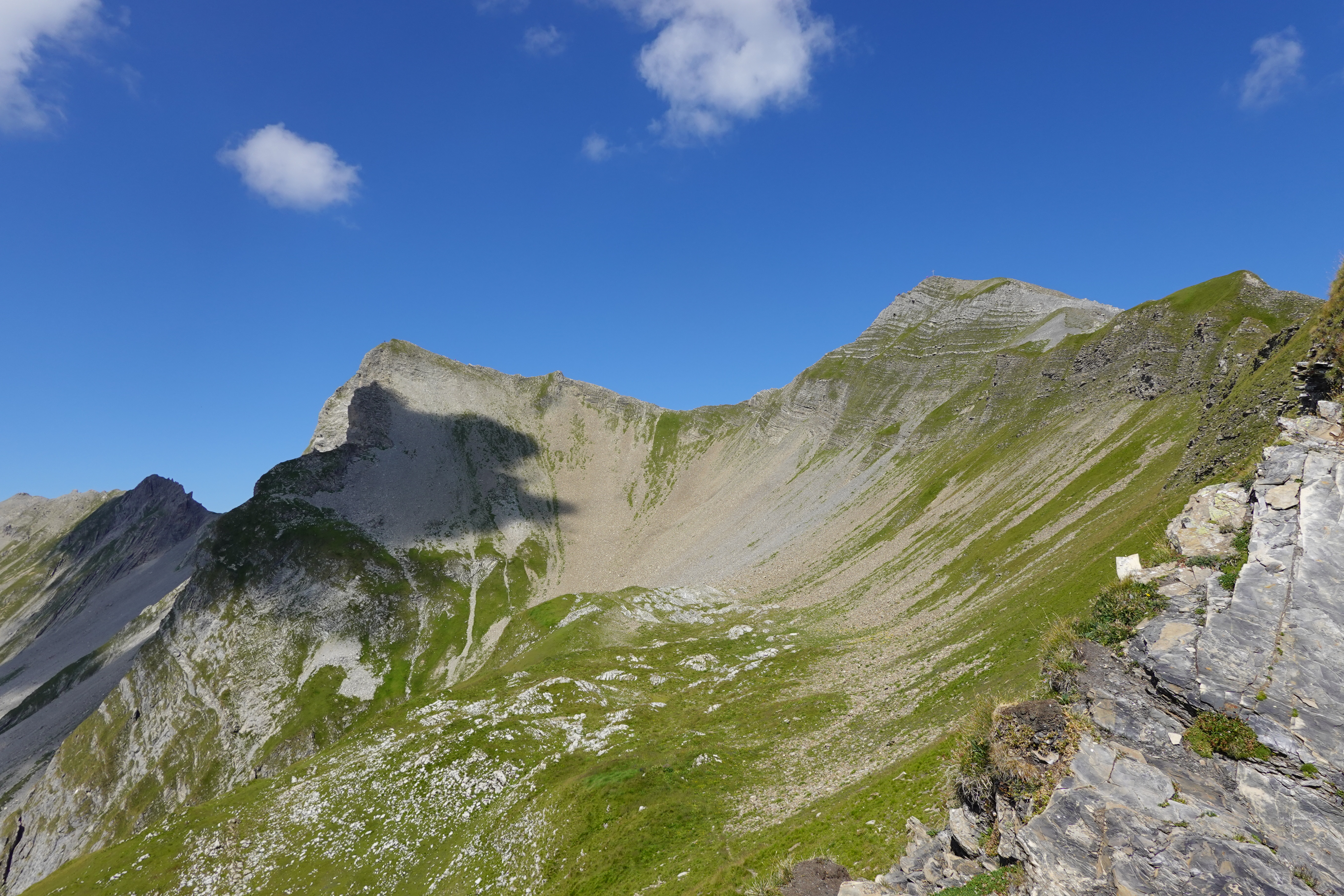
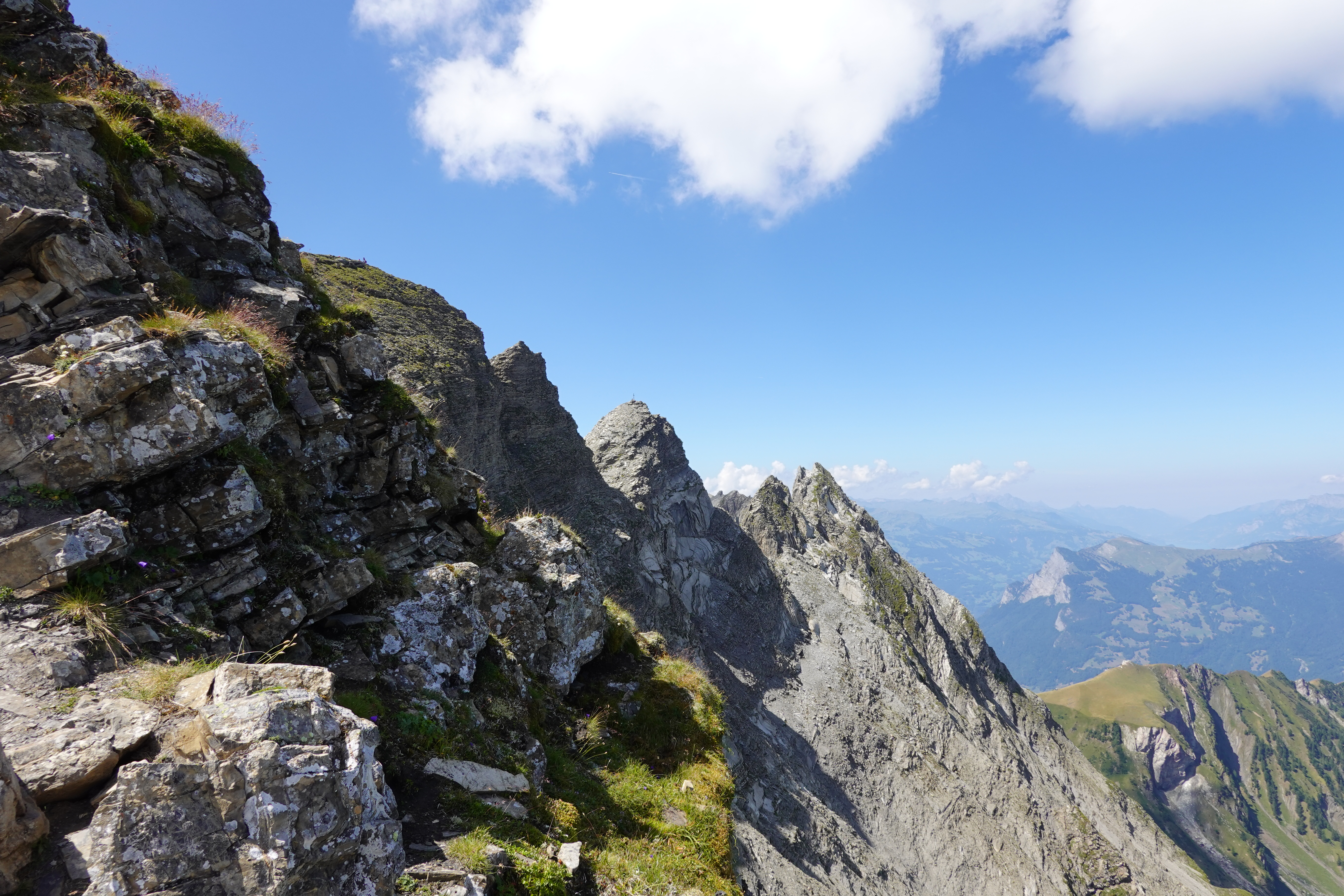
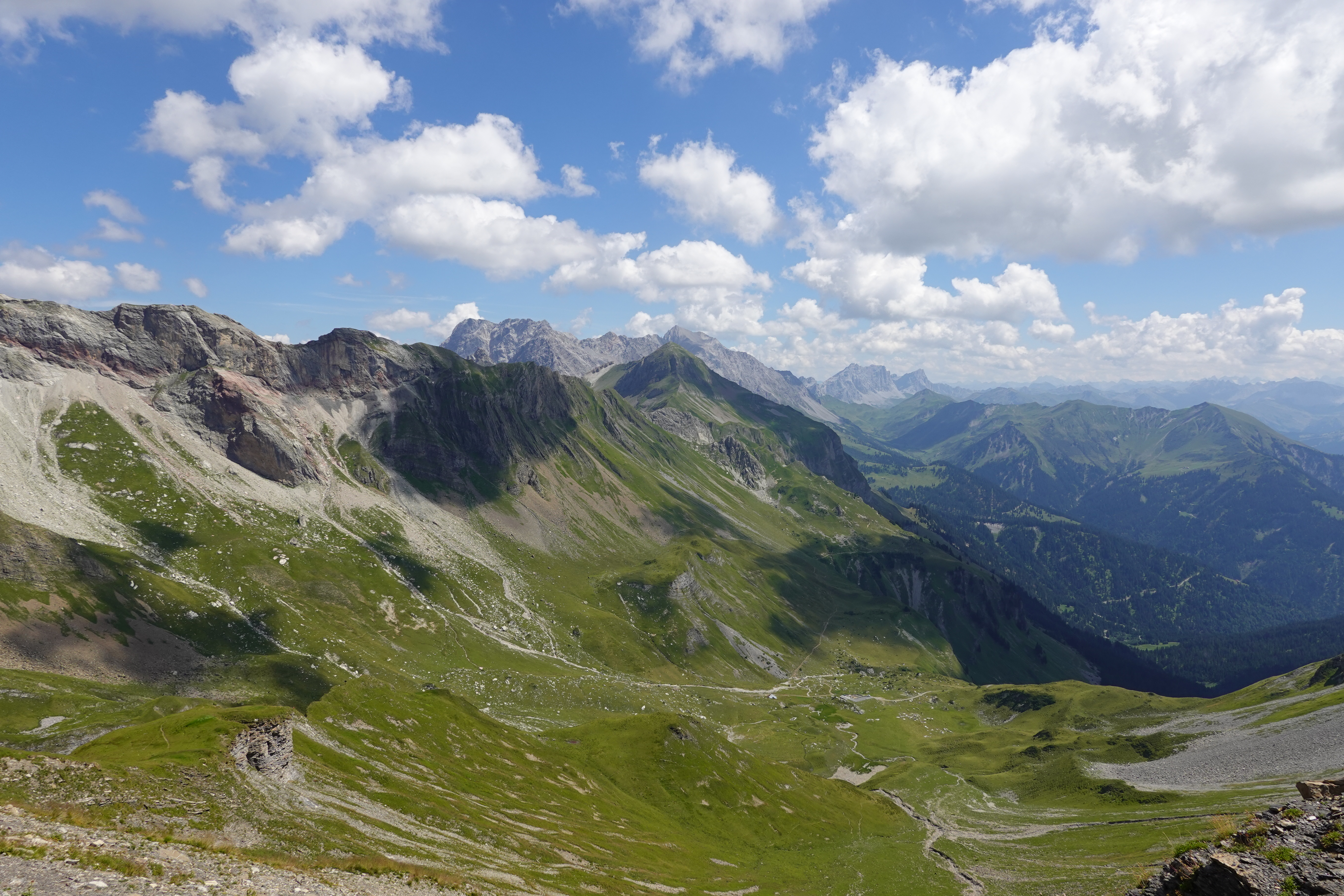
I often see the Vorder Grauspitz from the valley and nearby peaks, so always had an itch to climb it. There are two commonly used approaches. One is from Steg FL. This involves climbing the neighboring Hinter Grauspitz aka Schwarzhorn (Mountains in the Alps often have multiple names, depending on which side of the mountain you're on, often in different languages, e.g. the two names for the Ringelspitz / Piz Bhargis in German / Romantsch). From the Hinter Grauspitz, one can make a quite exposed-looking downclimb (looks like YDS class 3-4 to me from afar, often described as UIAA II). The least technical option is to climb from the Swiss side, passing Alp Ijes, climbing into a cirque of loose rock below the Vorder and Hinter Grauspitze, and gaining the ridge there, avoiding the crux downclimb from the Hinter Grauspitz. There is also an option to descend the mellower southeast ridge of the Hinter Grauspitz and drop into the cirque.
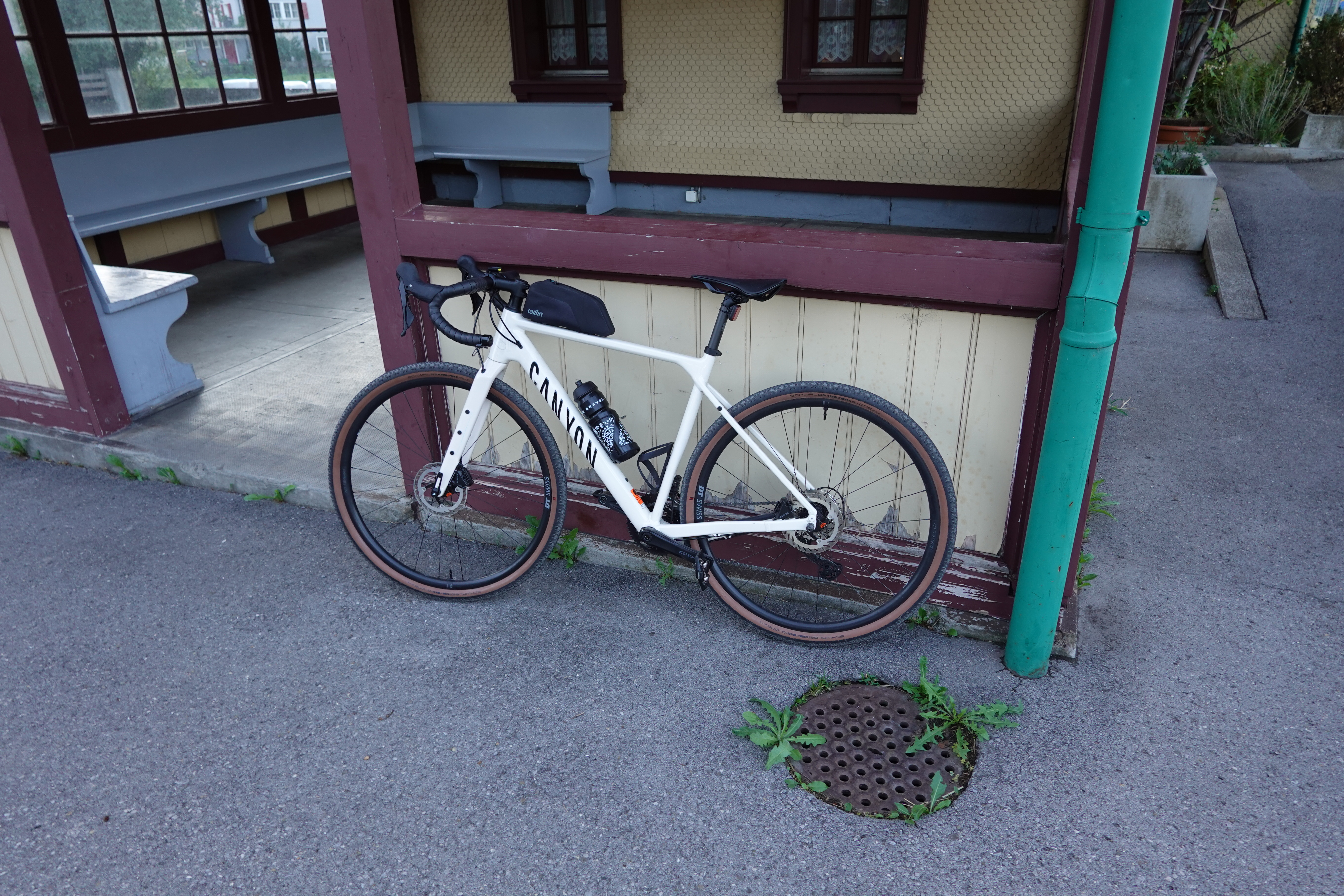
I opted for this easiest route because I wanted an efficient day trip and there are very direct trains from Zurich to the Swiss side, and because I would be solo and wanted to maximize chances of success and minimize danger. However, this posed a conundrum, in that my self-imposed notion of "fair means" means avoiding cable cars, and this route is usually done with the help of the Älplibahn which avoids well over 1000 m of climbing from the Rhine valley. Normally I'd be excited to just hike/run that, but I've been struggling with my right tibia and ankle for quite a while, and in particular wasn't keen to make such a huge descent if it could be avoided. From the Gilbertsons' report, I knew that there was a road most of the way that could be biked. A friend kindly loaned me his gravel bike, and you can pay extra and take bikes on trains in Switzerland (outside of rush hour in big cities), so I had my plan! The weather forecast looked absolutely perfect - clear skies, no thunder in the forecast (which in Switzerland really means no chance), and about 30C high in the valley but nicer up high.
I have done a couple of road bike tours, but overall am pretty inept with biking, so my biking game was extremely un-dialed. It's been very dry (absolute ban on fires on the day of the climb) and I wasn't confident I'd find much water on the route so I carried 2L of water with me. I carried an enormous U-lock as it's the only one I have. I biked in my hiking/running/scrambling shoes (Brooks Cascadia 18) on top of the clips. I forgot my multitool to adjust the seat so it was too low. I definitely wanted my climbing helmet since I'd be ascending a bowl of loose rock below a ridge with other climbers on it, so just biked in that. In retrospect some biking gloves and taking my friend's offer of a light rack and bag on the back of the bike would have been nice.
I biked to the Zurich main station and caught the IR 35 to Maienfeld. There was a large section of the train dedicated to bikes, which I watched fill completely on the way! So many bikes. (Foreshadowing) I ogled the seemingly gigantic radius of the largest gears on the rear tires of the mountain bikes. I extricated my bike from the bottom of the tangle in Maienfeld and was underway before 8 am.
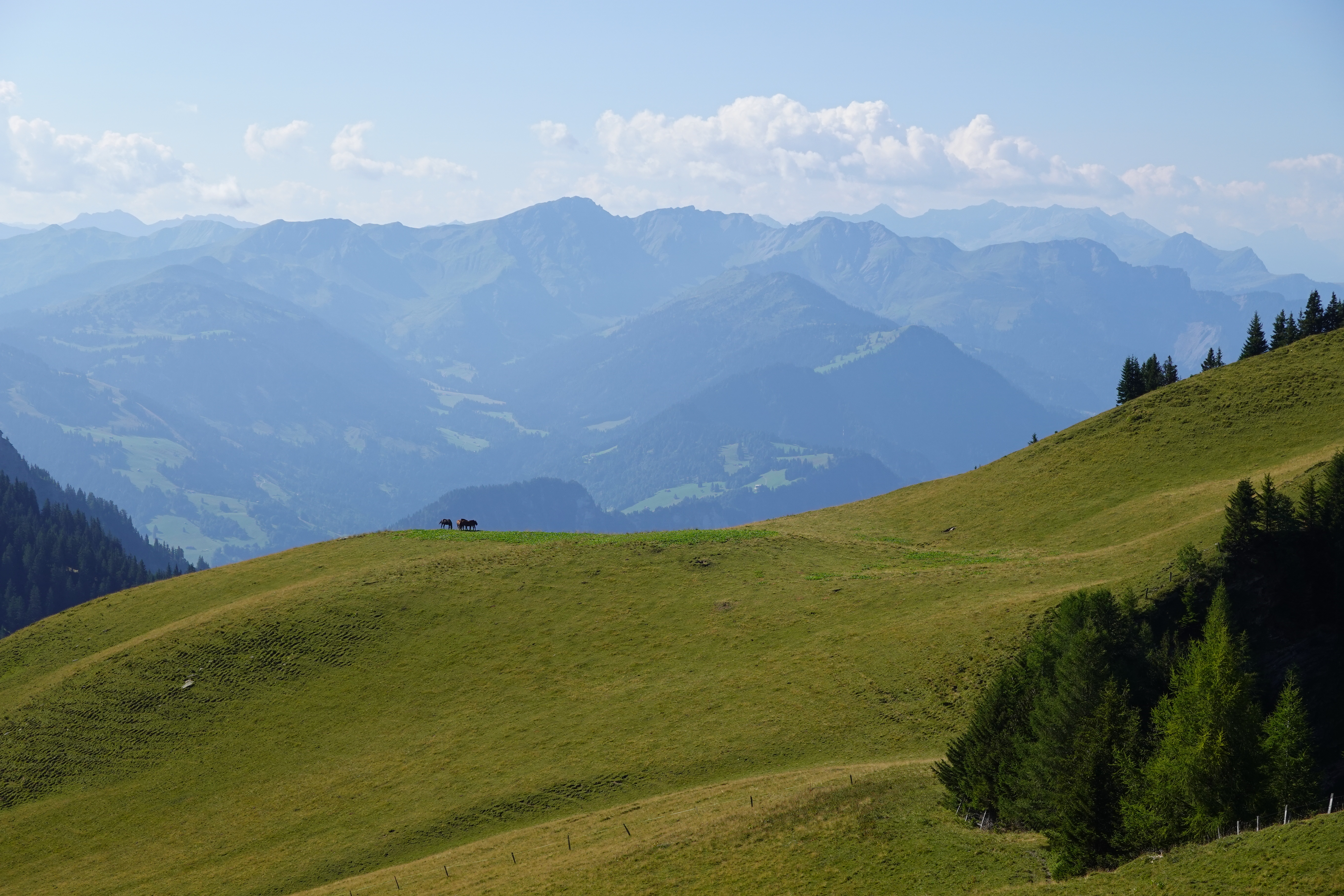
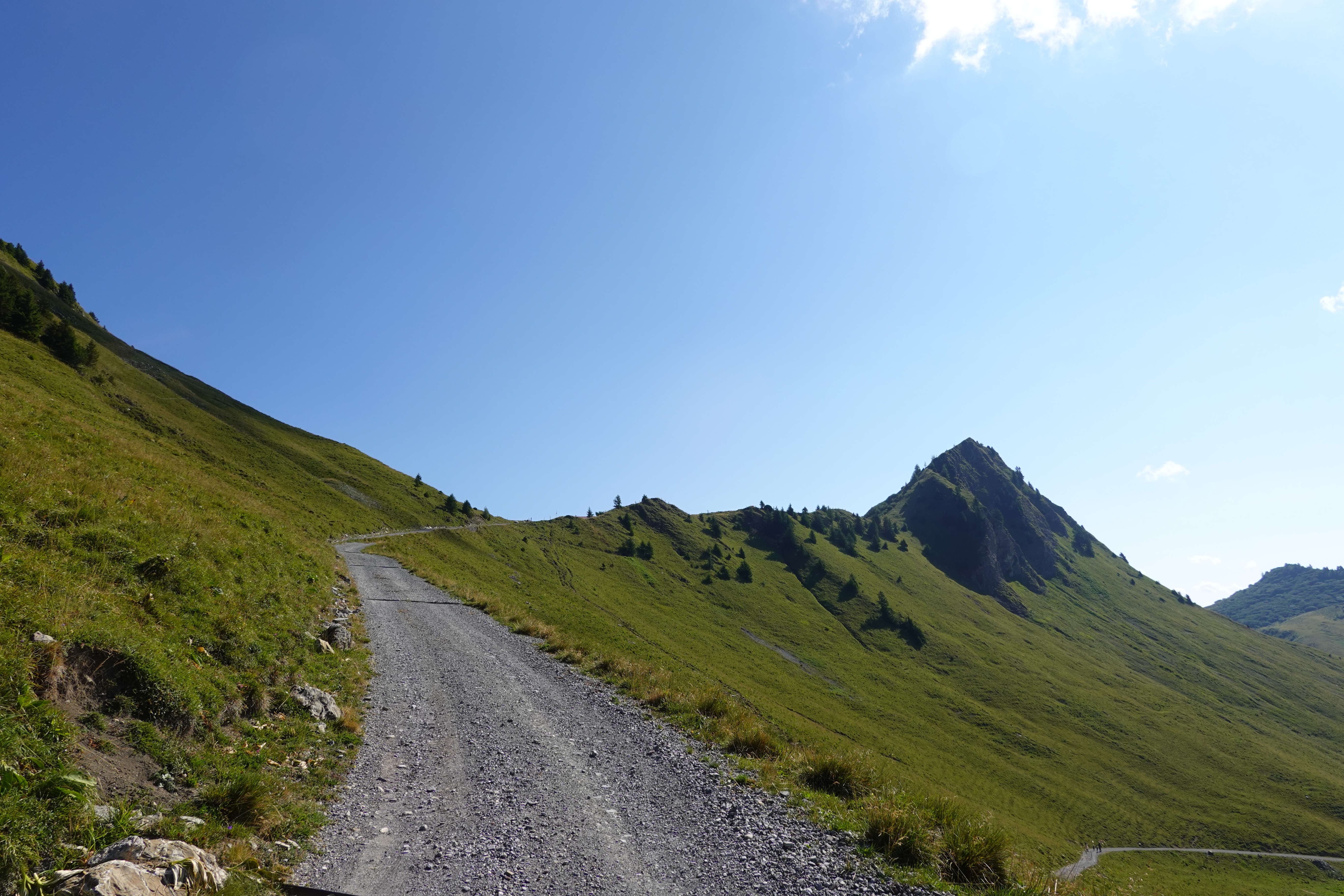
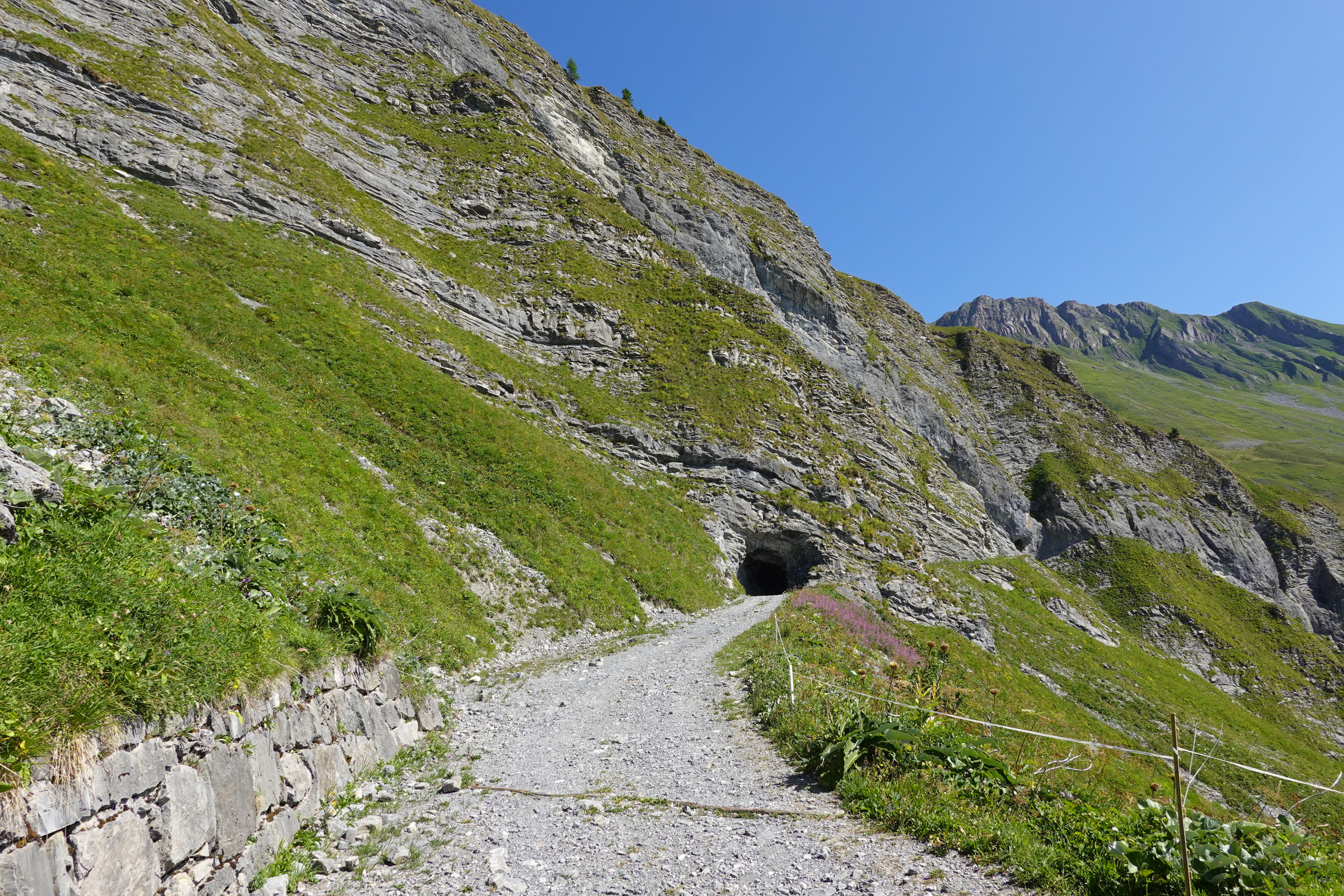
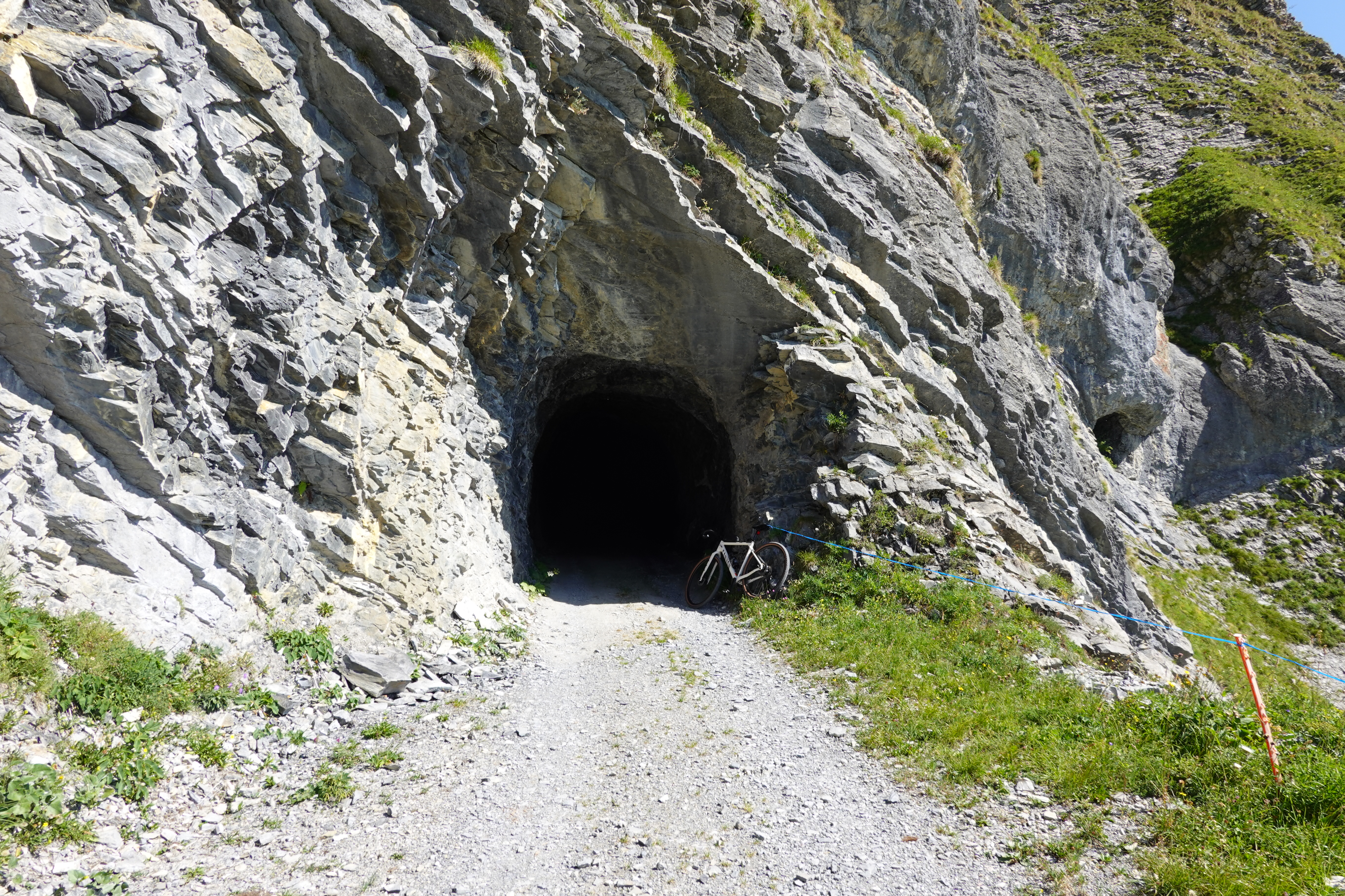
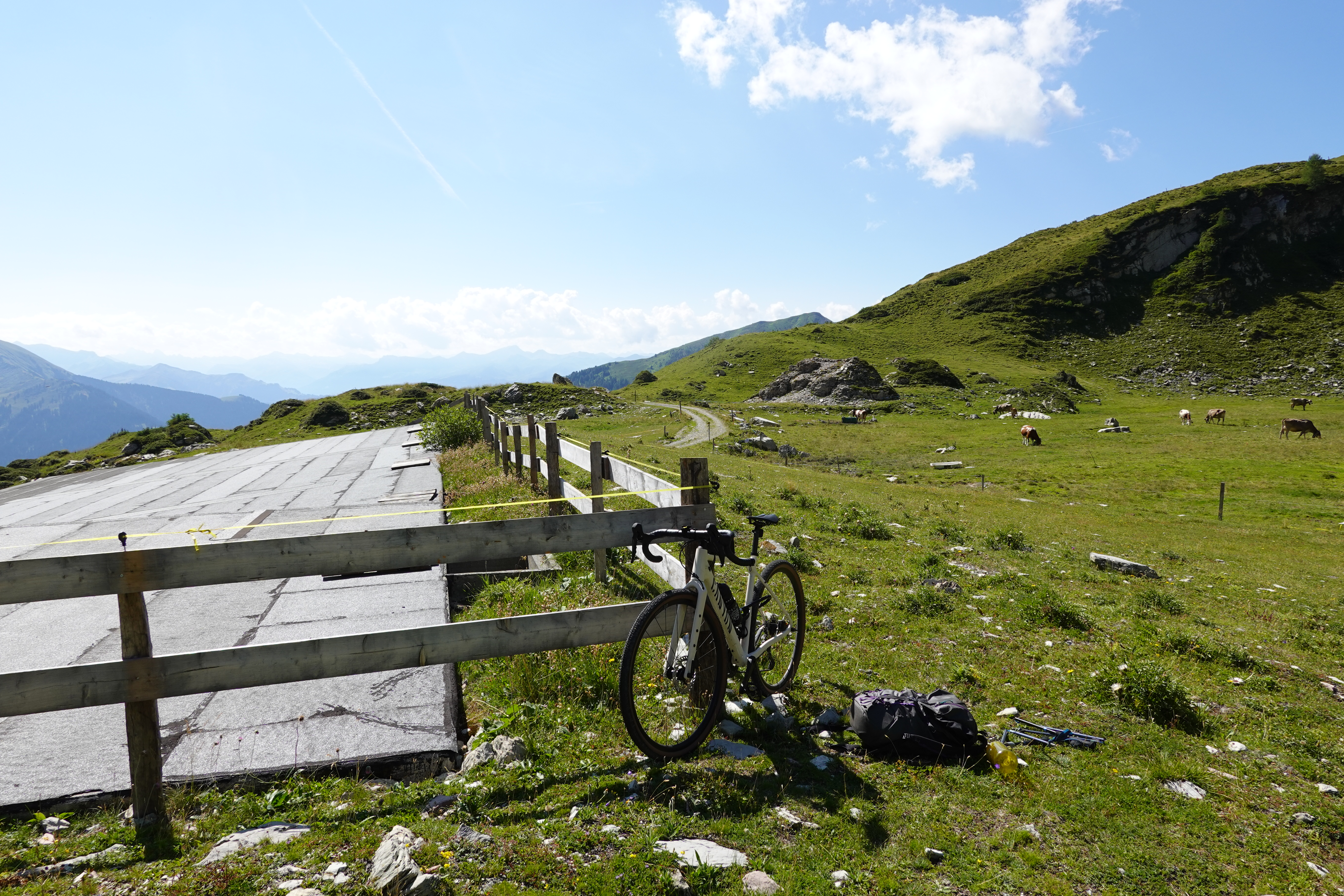
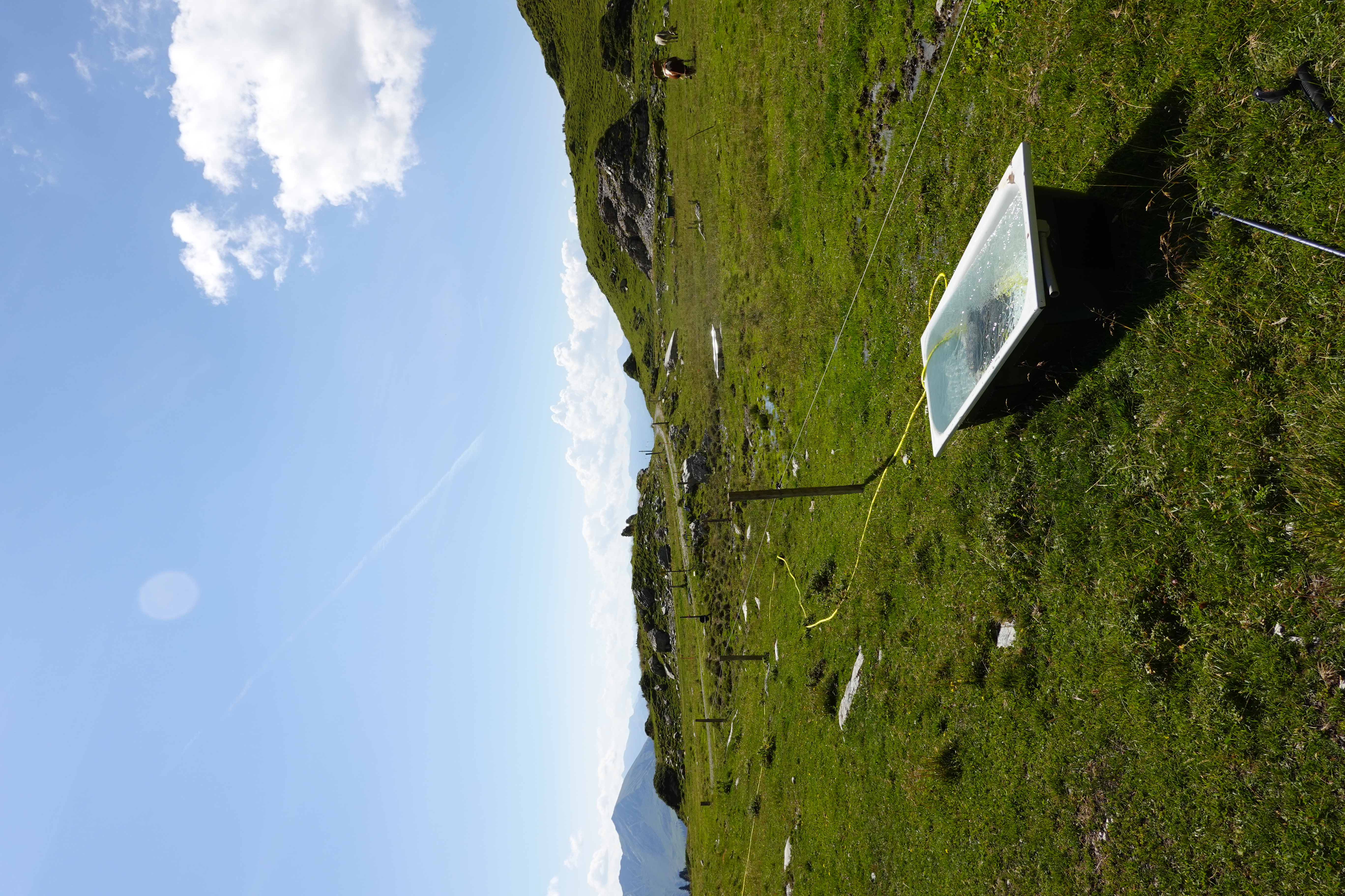
I made my way on roads through Maienfeld to Jenins. While scooting around Zurich had felt like a breeze on the fancy gravel bike, it felt much harder now with sustained climbing and a full pack. A friendly old codger on an electric mountain bike waved hello. I saw him again in Jenins just before joining the main mountain road the leads up but he codged away too quickly for me to ask him for a tool to adjust my seat. I tried for a while to bike up the hill but found it was too steep to sustainably do without a bigger gear or a better adjusted bike. So I pushed the bike up most of the climb. A few other electric mountain bike parties scooted by but through a combination of not thinking it would help (and wanting the lower seat for the descent) and it being hard to strike up conversations with Germanic people, I never got the chance to ask for a tool to adjust the seat. The climb was looong, gaining about 1600 m. It was mostly gravelly road which I think a proper mountain biker would have no issue with, but was in places too loose for me. One section in the middle was mysteriously perfectly paved! I pushed and pushed and pushed until I reached a saddle, and then descended bumpily until a turnoff for a slightly climbing and traversing road I'd been carefully looking out for. This led through the tunnels I'd read about in the Gilbertson report and to Alp Ijes, which was were I was to start hiking. I locked the bike to itself (thinking it was a bit silly, given the ludicrously low chance someone would steal a bike up here), and lucked out in finding a perfectly clean cow trough (like a bathtub) overflowing with fast-running cold, clear water from a hose at the bottom, making it low risk enough for me to drink my fill and refill my bottles.
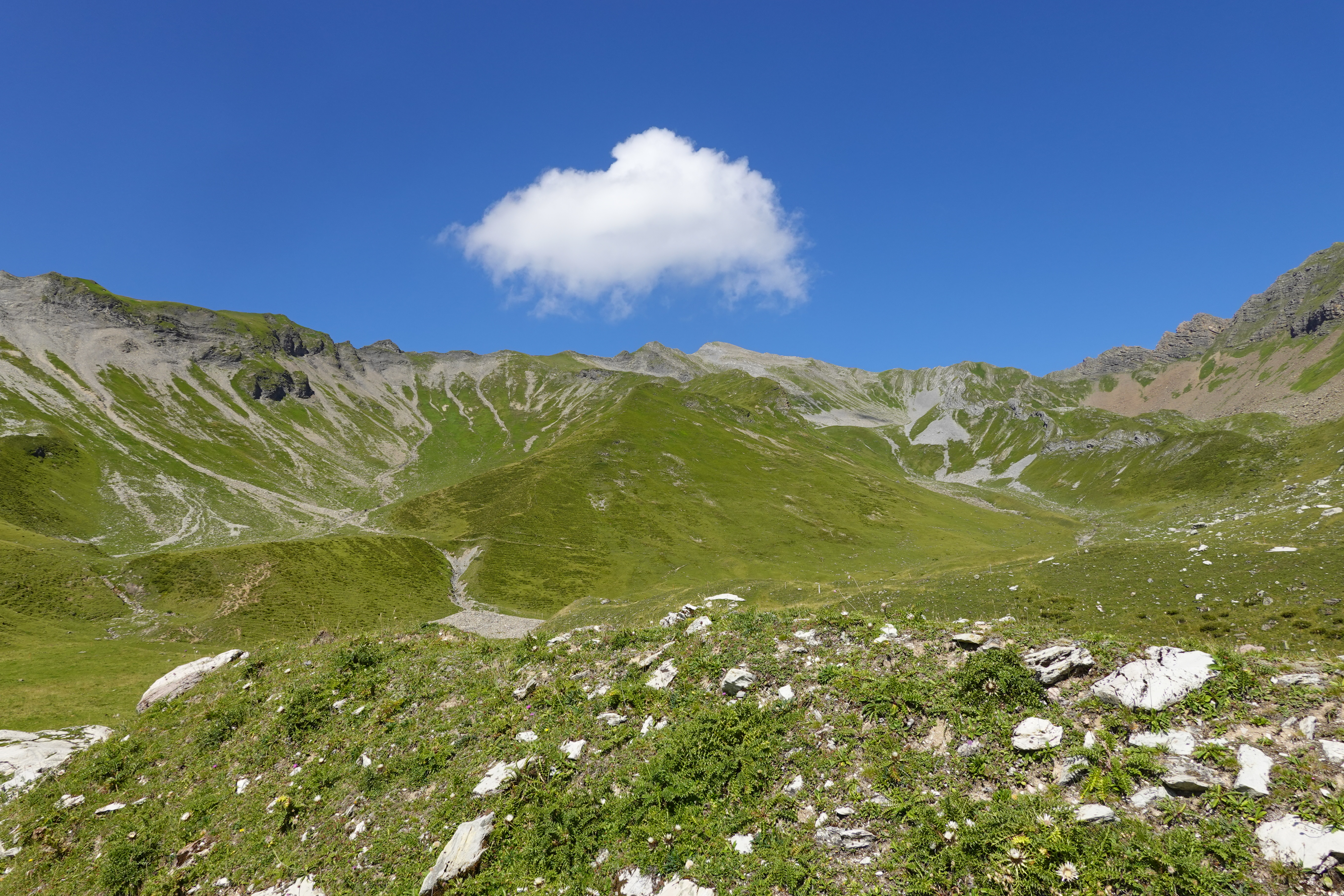
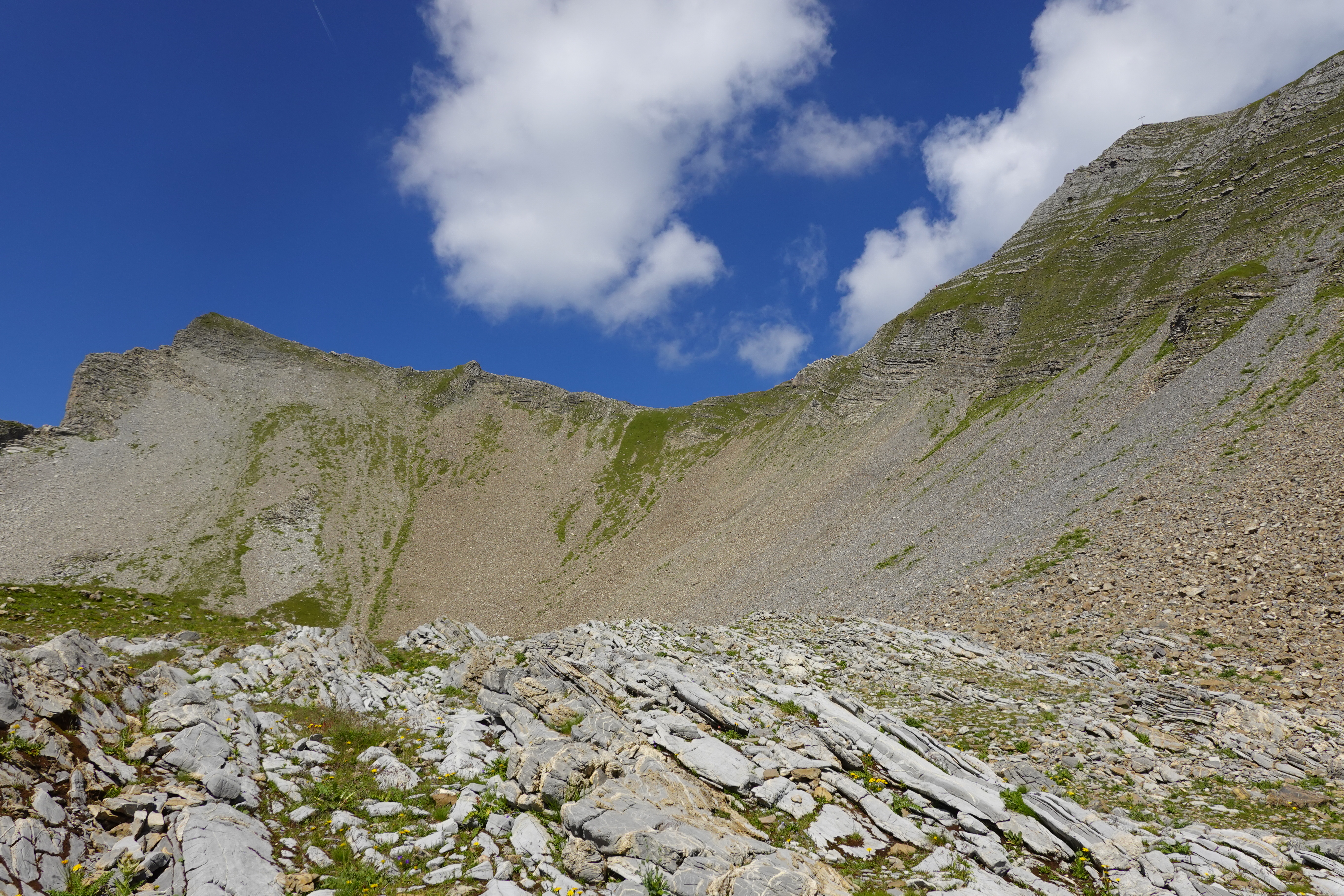
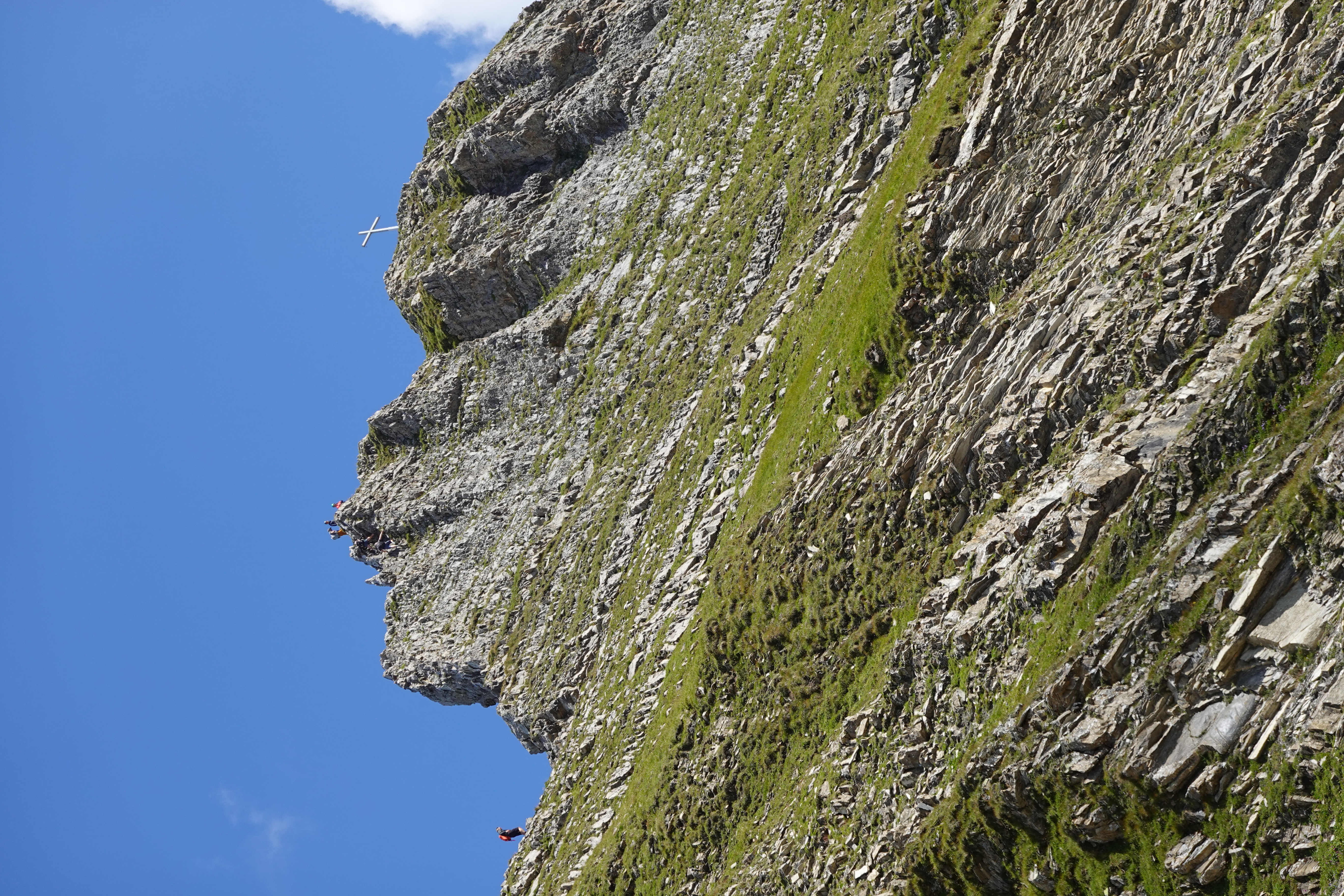
From here I started up towards the ridge to the right of the leftmost sub-bowl, wasting some time traversing loose stuff but mostly staying on a use trail which became more clear the higher up I went, ending at a cairn and well-trodden descent into the cirque. The illusion is strong that the grassy section I planned to climb is vertical. From reports and the map I knew it wasn't of course, but if I'd been going in blind I would have been terrified!
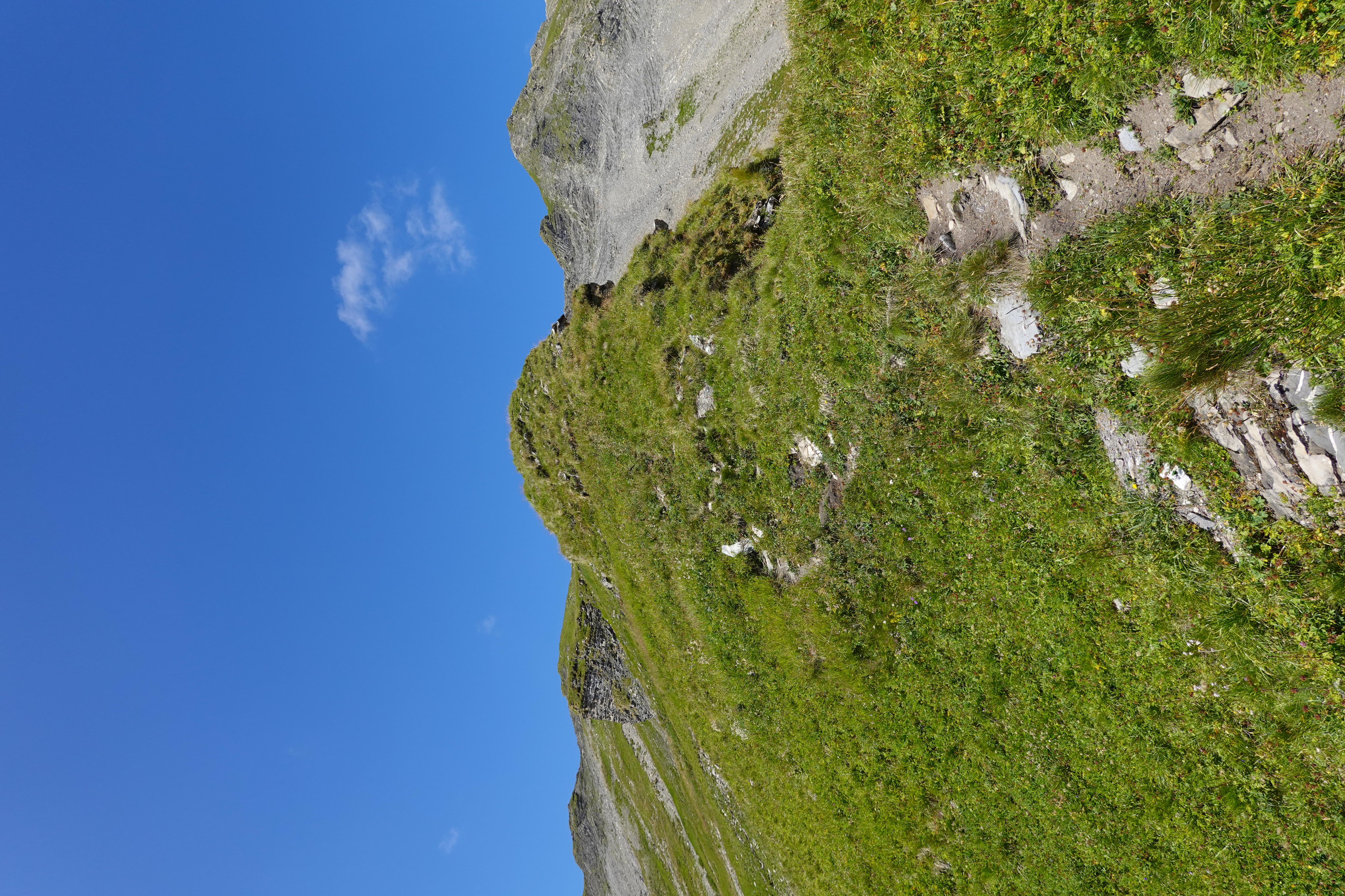
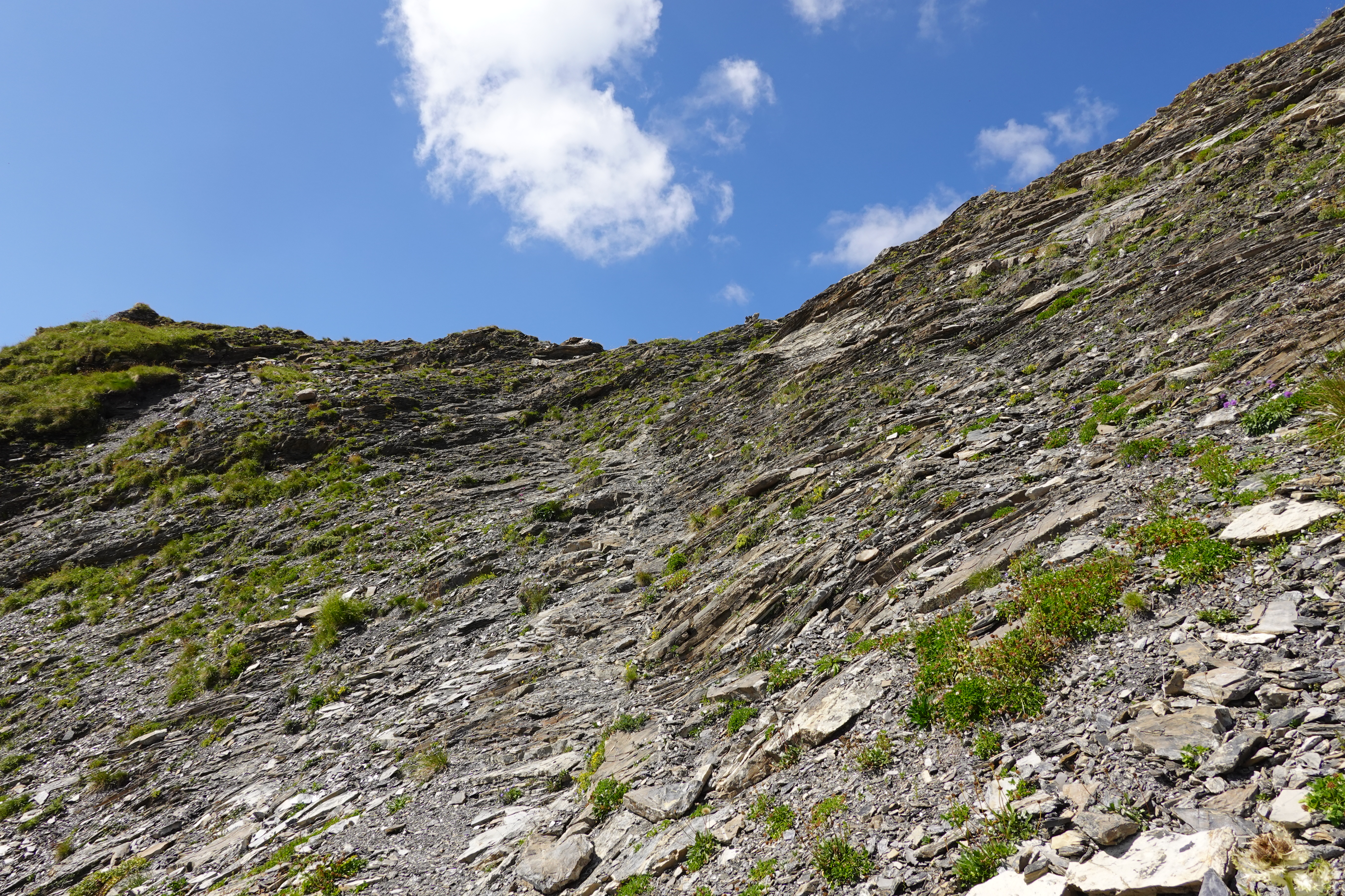
The bowl ended up being much easier than expected - the "scree" was large blocks mostly locked together very well, and the grassy section was steep (maybe 40 degrees maximum) but very secure and trivial to ascend. I saw several parties descending the Schwarzhorn - it looked very exposed but I assume there must be bomber holds on it. The ridge itself was very anticlimactic in the perfect conditions. It's mostly a trail, and I think I only really needed my hands a couple of times, so YDS class 2 at most. I contemplated trying the scramble to the Schwarzhorn and descend back down the easier way to Alp Ijes, but given some twinges in my ankle and not really wanting to do something that exposed when solo, I decided to keep it a guaranteed fun day and just reverse my route. Absentmindedly following the use trail revealed an even easier descent back into the cirque, that I'd seen some other people using, on my way up. The way back to Alp Ijes was pretty cruiser. I refilled my water again, ate my sandwich, and saddled up for the bike ride back.
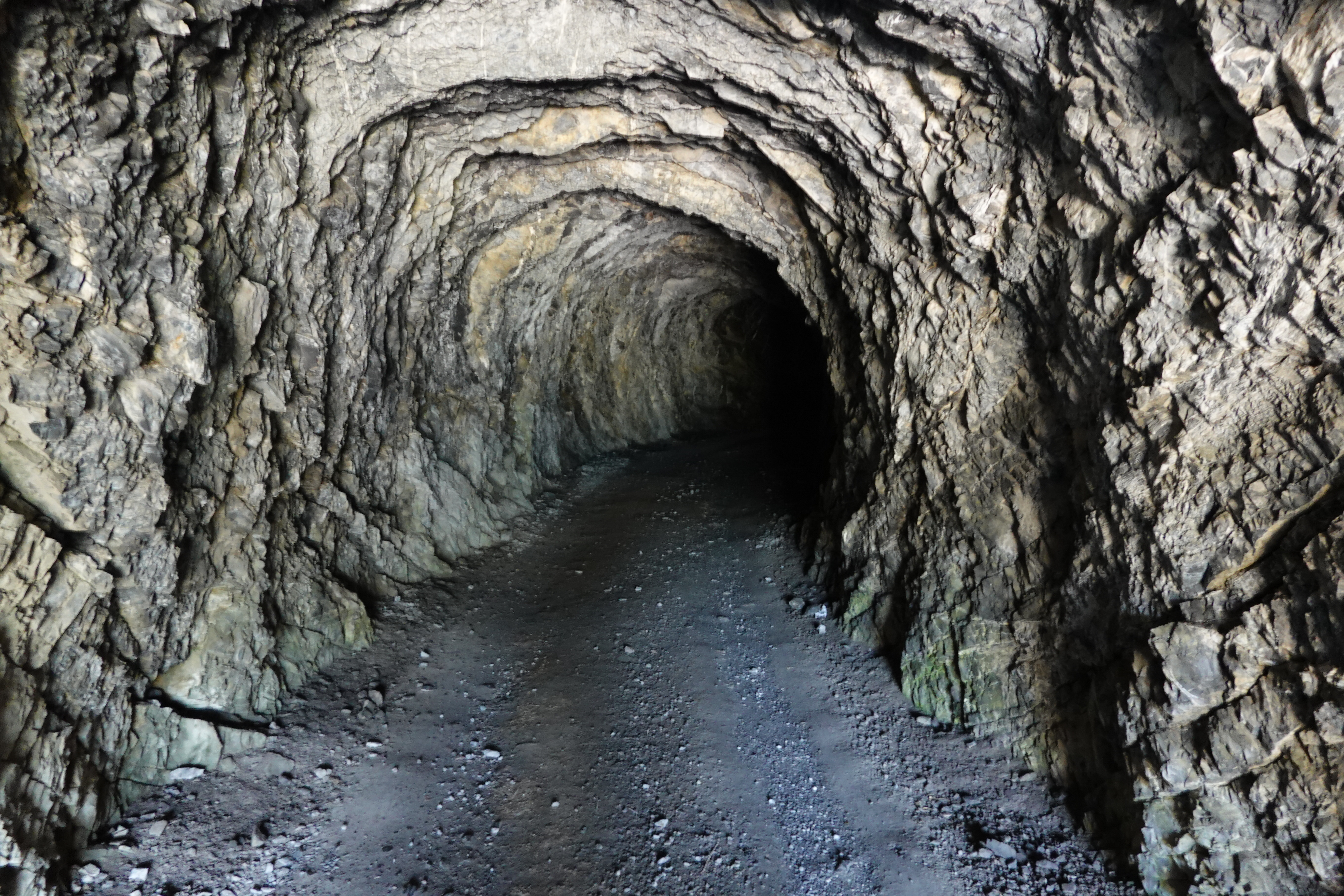
I biked back through the tunnel with my headlamp on (not strictly necessary as I'd assumed, as there are side tunnels that let in light), rejoined the main road, and mostly pushed the bike back up the 200-300m to the saddle. I prepared for the vertical mile descent. This was pretty slow, as I am not experienced on this terrain and didn't want to slid e out, and the limiting factor seemed to be my hands getting tired on the brakes (the handlebars on the bike were road bike style, so I had to be bent over more to get a good grip on the brakes). I felt like I do when skiing, having to stop and take a break a few times. Nevertheless, I made it back to the train station having done the route human powered and only doing steep downhill on foot for a couple of kilometers! The whole thing took about 8 hours. Looking at the times, in good running shape with a light pack I could have done it faster on foot, but there is a lot of room for optimization in the biking obviously, given I walked 90% of the uphill and it wasn't that steep. That said, mine was the only "acoustic" bike I saw on the mountain, out of ~30 mountain bikes!